The Carretera Austral runs roughly 1,240 kilometres from Puerto Montt to Villa O’Higgins, and it is the only road through the Chilean side of northern Patagonia. There is no alternative route, no parallel highway, and — this is the part that catches people out — no continuous road at all. Three sections are crossed by vehicle ferry, and if the ferry is full, your itinerary is not delayed by an hour. It is delayed by a day.
That is the single most important thing to understand before renting a car for Chilean Patagonia. This is not a road trip where you improvise. It is a road trip where the vehicle, the insurance, the ferry reservations and the fuel stops all have to be decided in advance, and where getting one of them wrong is expensive. Below is what actually matters: which vehicle, what the paperwork costs, where the ferries are, and where the fuel is not.
Which vehicle, honestly
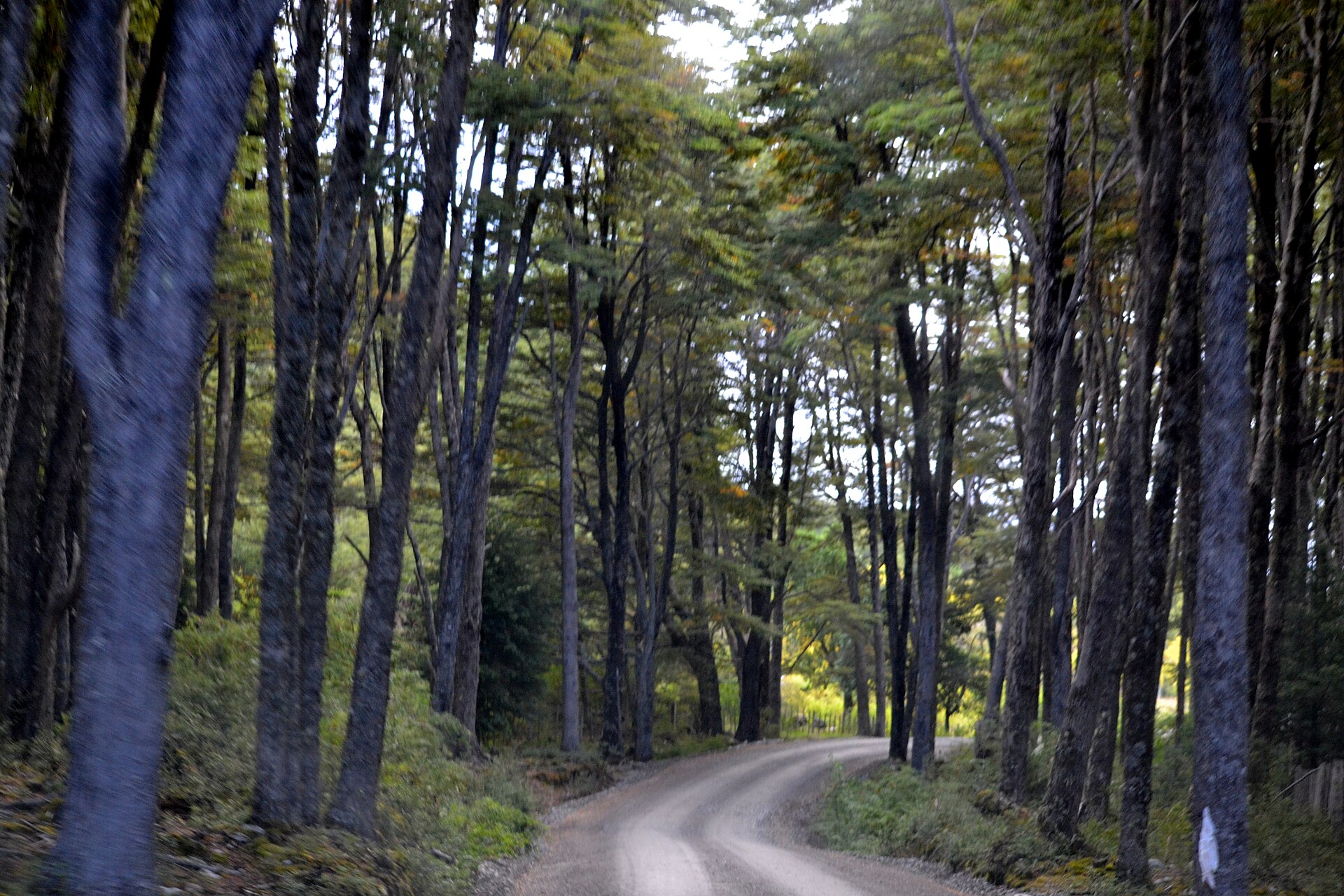
The Carretera Austral is roughly half paved and half ripio — loose gravel, sometimes graded, sometimes washboarded into ridges that will shake a small hatchback apart. Paving has advanced steadily northward over the last decade, but the southern sections between Cochrane and Villa O’Higgins remain gravel, and side roads to the good stuff are almost all gravel.
A standard 2WD car with decent ground clearance handles the main route in summer. What it does not handle well is the side trips: the road into Caleta Tortel, the tracks toward the Baker confluence, the approach to Cerro Castillo trailheads, and anything after two days of rain. A compact SUV or pickup is the sensible default. A full 4×4 is genuinely necessary only if you plan on the rougher Aysén side tracks or are travelling outside December–March.
Two specifications matter more than the badge on the bonnet. A full-size spare, not a space-saver — punctures on ripio are routine, not unlucky, and a space-saver is rated for speeds you cannot maintain here. And a windscreen protection or gravel damage waiver, because stone chips from oncoming trucks are the single most common damage claim on this road.
The paperwork that costs real money
Three items are routinely underestimated.
Cross-border authorisation. Any plan that touches Argentina — and many Patagonia itineraries do, because the Argentine Ruta 40 is the fast way south — requires a specific notarised permit from the rental company plus extended insurance. Expect this to cost in the region of 80,000 Chilean pesos, roughly $115, and to require at least ten days’ notice. It is not something the desk can produce on the morning of collection. If your route crosses the border twice, say so when booking, not at pickup.
One-way fees. Driving the Carretera one way and flying out of Balmaceda or Punta Arenas is the itinerary most people actually want, and it is where the quoted daily rate becomes misleading. One-way drop charges in Patagonia are among the highest anywhere, because the company has to repatriate the car over the same 1,200 km you just drove. Get the drop fee in writing before you compare daily rates; it can exceed the rental itself on a short booking.
Excess and deductible. Standard excesses on Patagonian rentals are high, and gravel, undercarriage and tyre damage are frequently excluded from the basic waiver. Read what is excluded rather than what is included.
The ferries: the constraint that shapes everything
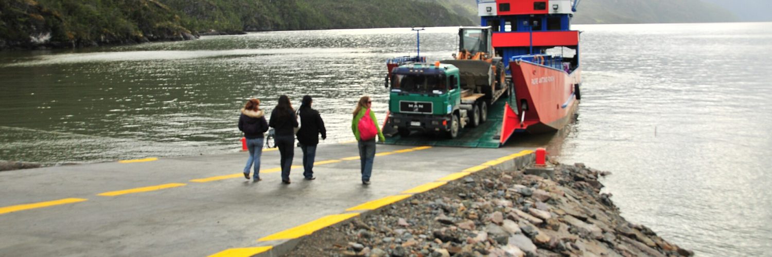
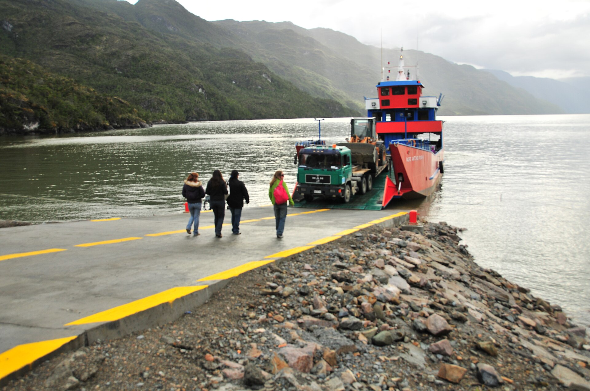
Three water crossings interrupt the road. The first and most important is Hornopirén to Caleta Gonzalo, which is not one ferry but a bi-modal route — a boat, a short drive across an isthmus, then a second boat — taking around five hours in total plus waiting time. It runs at least daily year-round and more frequently in summer. Subsidised sailings are cheap, in the region of $13 per passenger and $82 for a vehicle; the extra unsubsidised summer sailings cost substantially more, closer to $160 for a car with two people.
Vehicle spaces are limited and they sell out in January and February. Book as far ahead as you can. The practical wrinkle worth knowing: the operators’ online booking has historically only accepted Chilean credit cards, which means many foreign visitors end up reserving through their rental agency, a local agent, or by turning up very early and queueing. Plan for the possibility that you cannot pre-pay online.
The second crossing is La Arena to Puelche, a short and frequent shuttle near the northern end that rarely causes problems. The third, Puerto Yungay to Río Bravo, is free, short, and runs only a few times a day — miss the last one and you sleep at the slipway. There is also the optional Puerto Ibáñez crossing of Lago General Carrera, which saves a long detour but is weather-dependent.
Fuel, distance and the thing that strands people
Fuel stations on the Carretera Austral are concentrated in towns and absent between them. The gaps that matter: Chaitén to Coyhaique is long, and the stretch south of Cochrane toward Villa O’Higgins has effectively no reliable commercial fuel. The rule locals use is simple — fill up in every town whether you need it or not, and treat half a tank as empty.
Average speeds are the other trap. On gravel, 50–60 km/h is a realistic sustained pace, not 90. A 300 km day on the map is a six-hour driving day in reality, before stops. Itineraries built on European or North American average speeds fail here, and the failure mode is arriving somewhere after dark on gravel with free-ranging cattle on the road.
A realistic ten-day route
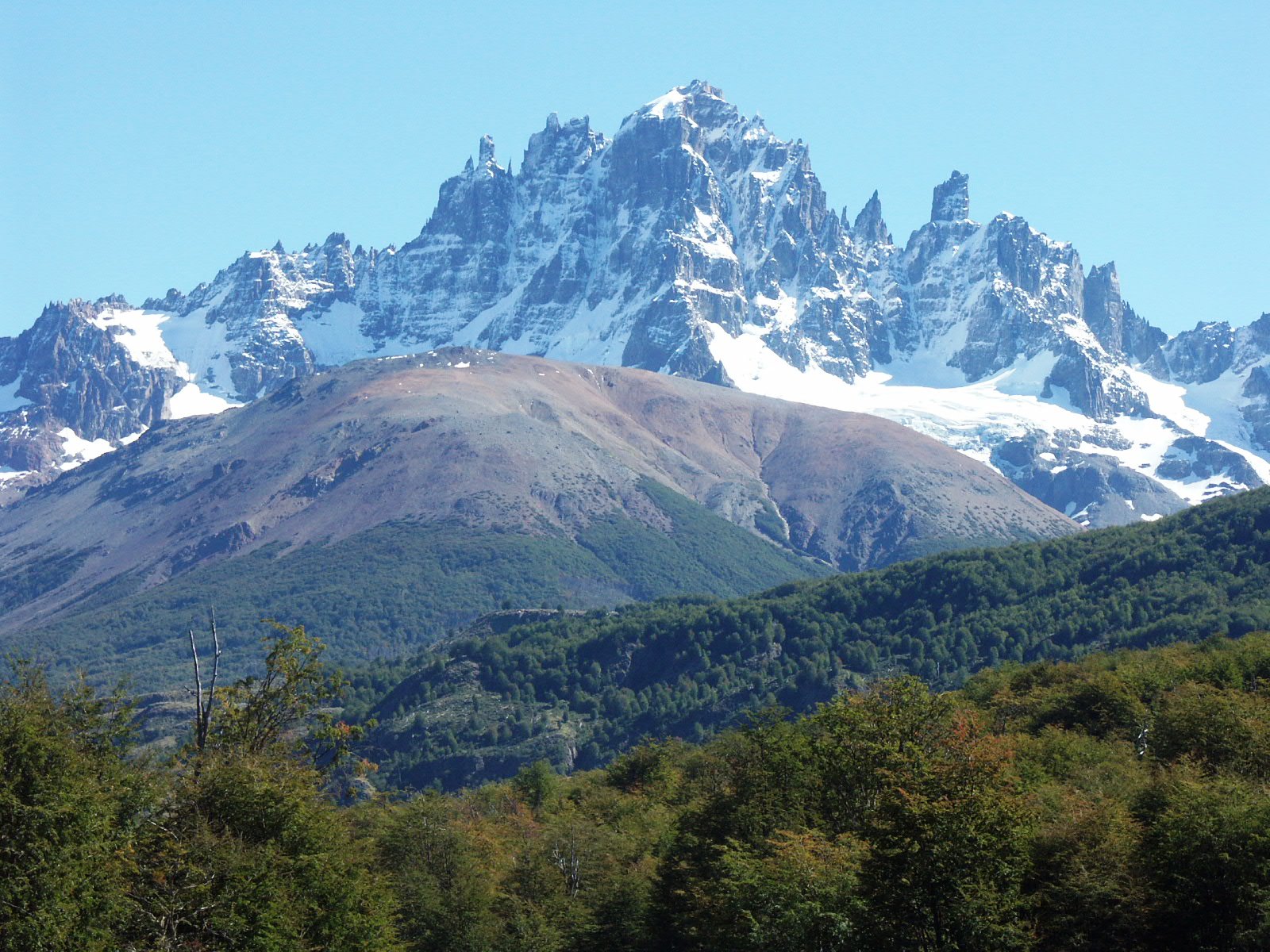
Days 1–2: Puerto Montt or Puerto Varas, then the ferry sequence to Caleta Gonzalo and Pumalín Park. Day 3: Chaitén to Futaleufú or Puyuhuapi. Day 4: Queulat National Park and the hanging glacier. Days 5–6: Coyhaique — the only real town on the route, with supermarkets, a hospital and tyre shops. Day 7: Cerro Castillo. Day 8: Puerto Río Tranquilo and the marble caves. Days 9–10: the Baker and Cochrane, or turn back north.
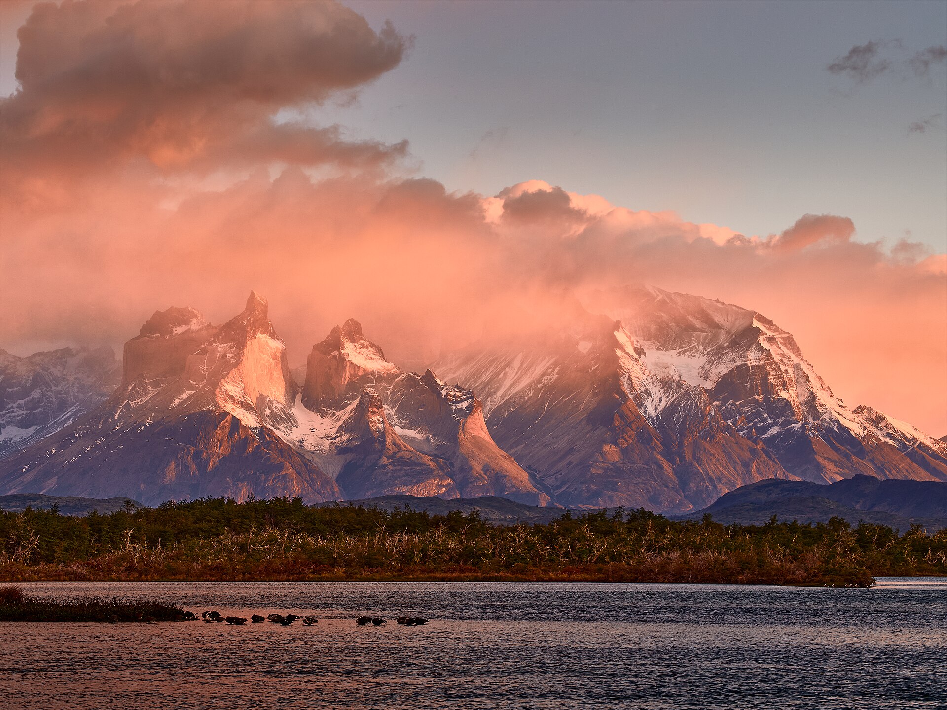
Continuing to Torres del Paine is a different trip. There is no through road from Villa O’Higgins by car — the connection to El Chaltén is a boat-and-hiking crossing that vehicles cannot make. Reaching Torres del Paine from the Carretera means either backtracking to Coyhaique and flying, or crossing into Argentina and driving Ruta 40 south, which is the point at which that cross-border permit becomes mandatory rather than optional.
Where to sleep, and why to book it
Accommodation on the Carretera is thin and seasonal. Coyhaique has a proper range; Puerto Río Tranquilo, Cochrane, Puyuhuapi and Futaleufú have a handful of cabañas and hostales each, and in January they are full. Camping is widespread and legal in designated sites, and many travellers mix the two. Whatever the plan, do not arrive in a small town at 8pm in February expecting a bed.
Getting to and from the car
Most itineraries start by flying into Santiago and connecting to Puerto Montt, Balmaceda (for Coyhaique) or Punta Arenas. Picking up in one and dropping in another is where the one-way fee lands, so it is worth pricing the alternative: fly to the far end, drive north, and fly out of your entry city.
If you are arriving at a Chilean airport late and do not want to collect a car in the dark, a pre-booked transfer into town for the first night is a small cost against a long first drive:
For getting between Chilean cities without driving, our comparison of domestic flights in Argentina covers the neighbouring network, and much of the same logic applies on the Chilean side.
Season, weather and the honest warning
The driving season is December to March. Outside it, ferry frequencies drop, some accommodation closes entirely, daylight shrinks to a few usable hours in June, and ice on gravel is a different proposition from gravel alone. April and November are possible for confident drivers with flexible plans; May to September is for people who live there.
Even in high summer, Patagonian weather does what it likes. Wind is the defining feature — sustained gusts strong enough to make opening a car door a two-handed operation, and strong enough that ferry sailings and lake boat trips get cancelled. Build slack into the itinerary. A trip with no spare days will lose something.
Practical checklist
- Book the Hornopirén ferry before anything else. The rest of the itinerary hangs off it.
- Confirm in writing: one-way drop fee, gravel and windscreen coverage, spare wheel type, cross-border permit if relevant.
- Carry cash. Card acceptance in small towns is patchy and mobile coverage is intermittent.
- Download offline maps and, if you can, a paper map. Signal disappears for long stretches — a local data plan helps but does not solve it. See our notes on an eSIM for Chile.
- Headlights on at all times, and slow down for oncoming traffic on gravel. The chip in your windscreen usually arrives from a car doing 90 in the other direction.
- Do not drive gravel after dark if it can be avoided. Cattle, guanaco and unlit farm vehicles all use this road.
Is it worth the complexity? Yes — but be clear-eyed about what you are buying. Fuel, ferries, one-way fees and gravel-damage insurance can easily double the headline daily rate, and the road demands more attention than scenery-watching allows. If your trip is under a week, the honest advice is to fly into Balmaceda and drive a short out-and-back section properly rather than rush the whole route.
Further reading
- Motorcycle rental in Chile
- eSIM for Chile
- Where to stay in Buenos Aires
- Domestic flights in Peru
- Car rental in the Norwegian fjords — a similar ferry-dependent route